Create a style
Open Styles in your workspace, choose New style, and enter a name such as city-points. The style editor accepts SLD XML. Edit the symbolizer and choose Save style; invalid SLD returns an error instead of silently replacing the saved style.
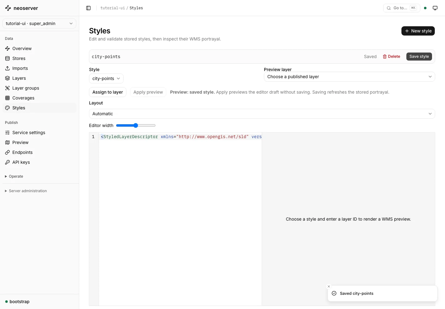
For example, this point symbolizer draws a teal circle. Place it inside the rule of a complete SLD document:
<PointSymbolizer>
  <Graphic>
    <Mark>
      <WellKnownName>circle</WellKnownName>
      <Fill><CssParameter name="fill">#0f766e</CssParameter></Fill>
    </Mark>
    <Size>12</Size>
  </Graphic>
</PointSymbolizer>
Edit the layer’s style settings to assign the saved style. The WMS guide describes the supported SLD and alternative style subsets.
Preview a published layer
Choose Preview on a layer’s catalog row. The console adds the selected publication to On the map. Use its Fit control or Fit all to frame loaded extents. Click a feature to inspect its properties.
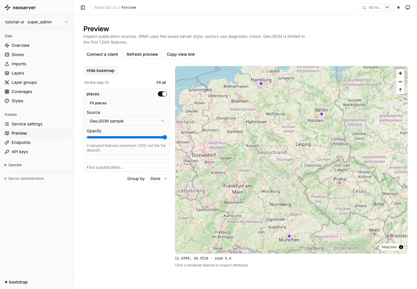
The default GeoJSON preview reads a bounded feature sample and uses diagnostic colors. It is useful for checking geometry and source access. To verify server-side styles, choose the WMS source when that service is enabled. A successful diagnostic preview does not prove that WMS or a different client credential is configured correctly.
Configure a basemap
The screenshot fixture uses OpenStreetMap tiles. The background is optional. An operator can set Website.BasemapUrl or NEOSRV_WEBSITE_BASEMAPURL to an XYZ tile URL, restart the server, and choose Show basemap in the console. Respect the provider’s usage and attribution requirements; screenshot attribution is retained here.
Investigate a blank map
Confirm that the source, publication, and selected protocol are enabled. Fit the layer, inspect its CRS and extent, and use GeoJSON sampling to distinguish a source-data issue from a WMS styling issue. An unavailable extent disables Fit and shows the reason.
For external applications, continue with connect a client.